


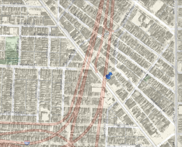
Urban highways killed neighborhoods
1 Comment so far
Leave a comment
August 10, 2013, 22:36
Filed under: maps | Tags: Indianapolis, Joan Hostetler, transportation, urban cycling, urban development, urban freeways
Filed under: maps | Tags: Indianapolis, Joan Hostetler, transportation, urban cycling, urban development, urban freeways
In Indianapolis and elsewhere. Here is a current map of some Indy freeways superimposed over a 1956 aerial photo.
 click to enlarge
1 Comment so far
Leave a comment

Reblogged this on CitraGran Cibubur.
Comment by CitraGran Cibubur August 14, 2013 @ 03:49